
Our services
Every project needs the right information at the right time.
V2 Survey provides surveying and investigation services designed to reduce uncertainty, support informed decisions and give project teams confidence throughout the construction lifecycle.
From understanding what lies beneath the ground before works begin, through to engineering support during construction, our services can be delivered individually or combined to provide an integrated survey solution.
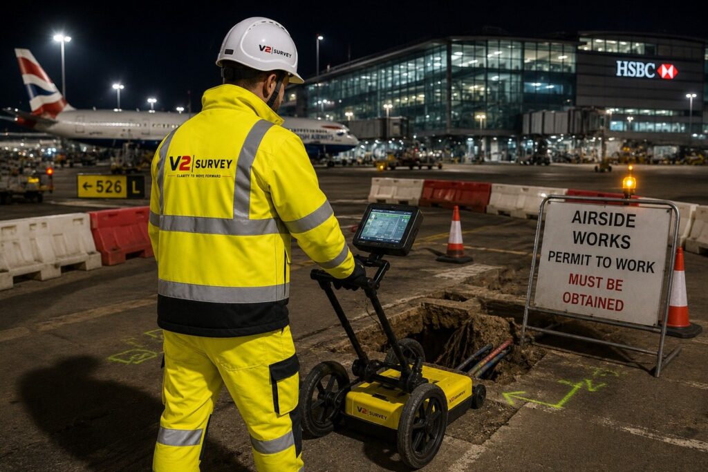
Understand what lies beneath.
Underground services present one of the biggest uncertainties when planning and delivering construction works.
Our PAS128 Utility Surveys combine Electromagnetic Location, or EML, with post-processed Ground Penetrating Radar, or GPR, data to detect, trace and map underground utilities in accordance with the project requirements.
Where required, surveys are supported by utility records, inspection of visible service features, manhole and inspection chamber surveys, pit schedules, manhole cards and associated survey information to build a clearer understanding of the services present.
The result is more than a drawing. It is a visual representation of the underground environment that helps remove uncertainty and gives designers, engineers and construction teams better information on which to base their decisions.
See what is there. Understand the risk. Plan with confidence.
Protecting services. Protecting people. Protecting progress.
Finding utilities is only part of managing the risk.
Our Service Protection offering supports construction teams during intrusive works by helping ensure agreed safe systems of work and project-specific utility protection requirements are implemented on site.
Requirements differ between projects and environments. Our teams work to established client standards, including airport-specific requirements at Heathrow and Gatwick, or project-specific service protection procedures.
This includes
Daily service protection checks
Marking detected services on the ground
Establishing and maintaining exclusion zones
Briefing working gangs
Monitoring compliance with agreed procedures
The objective is simple: give those carrying out intrusive works clear information about the services around them and help maintain the controls required to work safely.
Capturing what exists. Setting out what comes next.
Our Geospatial services support projects from initial survey and design through to construction and verification.
Depending on the environment, required accuracy and intended use of the information, our surveyors combine traditional survey techniques with modern data capture technology to produce the right information for the project.
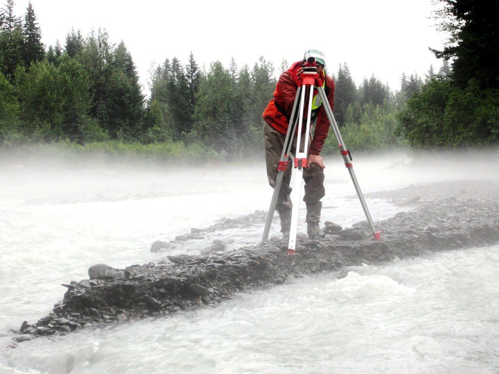
Using Total Stations, GNSS and other appropriate survey techniques, we accurately capture natural and built features to provide a detailed representation of existing site conditions.
Topographical surveys are tailored to the project requirements and provided in suitable CAD and digital formats for use by designers, engineers and construction teams.
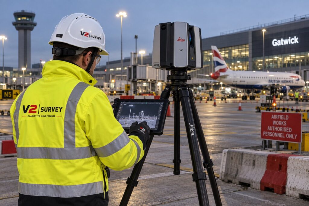
For complex environments or where high-density spatial information is required, 3D laser scanning provides an efficient method of capturing existing conditions.
Captured scan data is registered to produce a detailed 3D point cloud, from which topographical drawings and other survey information can be produced.
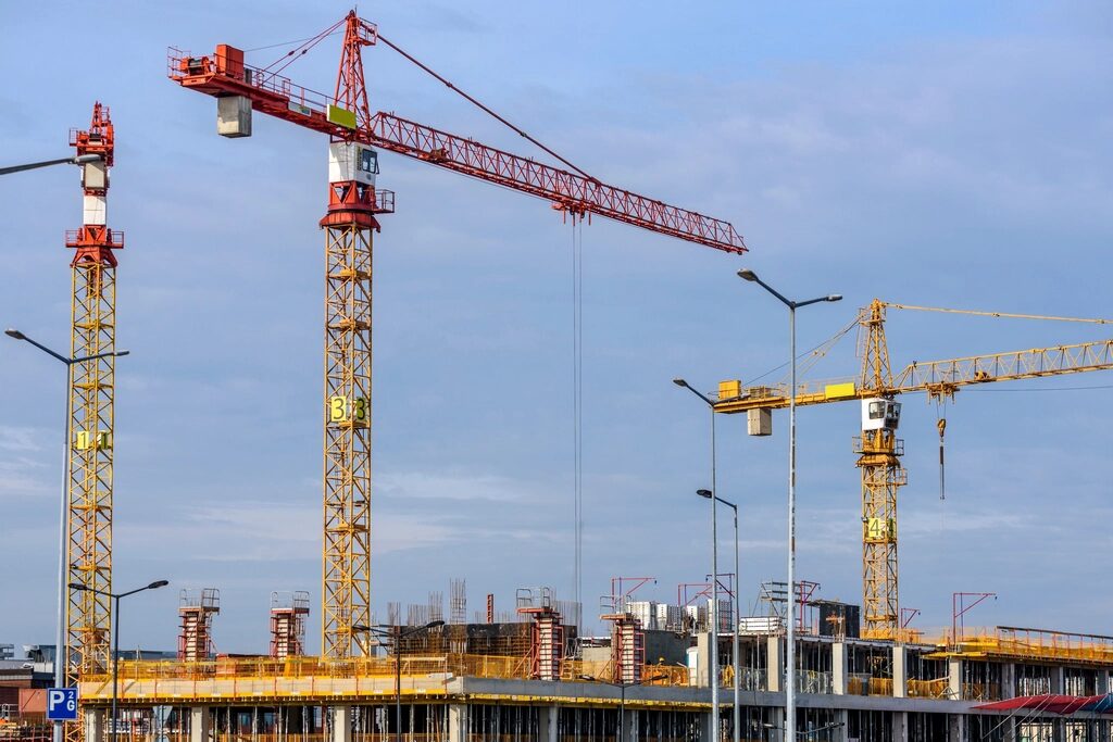
Once construction begins, our Site Engineering services provide the accurate spatial information required to translate design into reality.
Our capabilities include establishing and maintaining survey control networks, setting out gridlines, datums, levels and construction features, together with as-built surveys and verification of completed works.
This allows V2 to remain involved beyond the initial survey, supporting project teams throughout the construction stage.
Understand the condition of your drainage network.
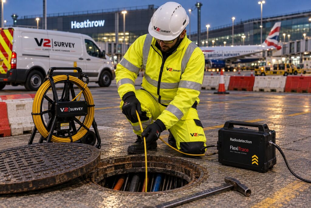
Our Drainage CCTV services provide project teams with a clearer understanding of the condition, connectivity and accessibility of existing drainage systems.
CCTV investigations are supported by jetting and cleaning where required to enable effective inspection of the drainage network.
Where chambers or pits are flooded, tankering and water removal can be coordinated as part of the investigation to provide access and enable the survey to be completed wherever practicable.
The resulting survey information helps identify defects, obstructions and other conditions within the network, giving project teams the information needed to assess existing drainage and determine appropriate next steps.
Understand what is beneath the surface.
V2 provides integrated pavement investigation services to help clients understand pavement construction, condition and performance.
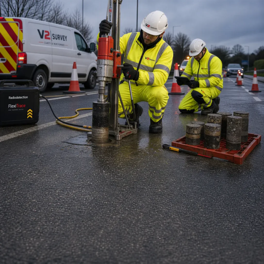
Our service brings together Pavement Analysis GPR, Heavy Weight Deflectometer testing, pavement coring and associated investigation techniques to build a clearer picture of the existing pavement asset.
GPR data is analysed to assess construction make-up and indicative layer thicknesses, with intrusive core information used to calibrate and validate the interpretation.
By managing the different elements as a coordinated investigation, we provide project teams with a more complete dataset for use in pavement assessment, maintenance planning and future design.
Assessment of pavement construction and layer interfaces along the survey route.
Assessment of pavement structural response and performance.
Physical verification of pavement construction and materials.
Using intrusive information to refine and validate interpretation of GPR data.
Bringing the investigation results together into clear information for the project team.
V2 manages the complete pavement investigation package, providing a coordinated approach from planning and data collection through to analysis and reporting.
That is where our experience adds value.
Clients do not always arrive with a finished survey specification, and they do not need to. Tell us what you are trying to achieve and we will help establish the survey scope and information required to support the next stage of the project.